22-11-2023
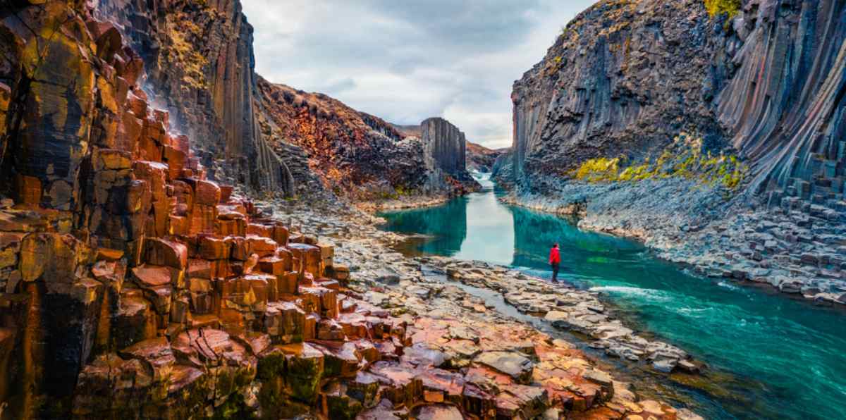
Towering basalt rocks and flowing blue-green glacial waters make the majestic Studlagil Basalt Canyon in East Iceland a true natural marvel. Standing tall along the bank of the glacial river Jokla lies one of Iceland’s largest collections of basalt rocks on land, making up the ever-impressive Studlagil Canyon.
Let’s learn more about the history and geology of this beautiful basalt rock formation, as well as how to get to Studlagil Canyon and hikes you can do in the area.
Carved by the force of the glacial river Jokla, which made its way from the Icelandic Highlands all the way to East Iceland, Studlagil Canyon was once fully submerged underneath the river. With dangerously high water levels, the area around Studlagil was only occupied by sheep for a long time.
In 2007, a hydroelectric plant called Karahnjukavrikjun was built nearby, which drastically changed the landscape around Studlagil. With lower water levels and a redirection of the river by the Karahnjukar dam, the river slowly became calmer and more popular with tourists.

While the force of the river Jokla previously divided the Jokuldalur Valley into two, with farms and villages on either side of the river being inaccessible to the other, this new dam connected people on each side of the river for the first time.
You may have heard of the ‘giant basalt canyon in Iceland’, which is actually referring to the giant basalt rocks of Studlagil Canyon. This incredible basalt rock formation spans an impressive 150 kilometers (90 miles) and was formed through a process called columnar jointing.
In columnar jointing, hexagonal basalt rocks are formed when basaltic lava cools down and contracts into column shapes. The lava first begins to separate into columns at the places where the cooling happens the quickest, with the rest of the lava following, creating the towering columns we can see today.
Fun fact: The color of the water flowing through Studlagil Canyon varies from season to season, as the river shines a beautiful blue-green color during summer and slowly changes to a grey-brown during winter when the snow melts into the glacial river.

No, you can’t swim in Studlagil Canyon as it’s very dangerous due to the strong currents and cold water. Even if you see some daredevils in the water at Studlagil, please know it’s not safe to swim here, as the currents are treacherous.
Nestled in Jokuldalur Valley in East Iceland, Studlagil Canyon is not far from the black beaches and spectacular landscapes of the remote Eastfjords region. This historic area was carved by glaciers in the last Ice Age, making it one of the oldest areas in Iceland.
Certainly, an off-the-beaten-path destination, the Icelandic wilderness surrounding Studlagil is truly stunning. One of the reasons that Studlagil Canyon remained undiscovered and untouched for so many years was its remote and relatively hidden location. Not to worry, though because nowadays, you can easily reach Studlagil Canyon by taking the main Ring Road in Iceland – let’s see how!

Studlagil Canyon is conveniently just a short drive from the Ring Road in Iceland (also known as Route 1), so the best way to get here is to rent a car in Reykjavík and drive along Route 1 until you reach Route 923 Jokuldalsvegur.
Overall, you’ll need to drive 7 hours along Route 1 and a further 20-25 minutes along Route 923 to reach Studlagil Canyon – a long trip but worth it for the epic views!
At Studlagil Canyon, you can take a number of different hikes, depending on how long you want to be walking for and which route you’d like to take. The shortest hike you can take to Studlagil Canyon takes between 30 minutes to 1 hour, depending on your fitness level.

Here are some of the most popular hiking routes you can take in the Studlagil area:
Magnahellir – A short 30-minute hike, this route takes you to the amazing Dimmugljufur canyons and Magnahellir cave. Around 7-8 kilometers (4-5 miles) from the north of Vatnajokull Glacier, Magnahellir can be reached by driving north of the Karahnjukastifla reservoir to the parking lot next to the Dimmugljufur canyons.
Hnjuksvatn – On this 3-hour hiking route, you’ll reach the impressive Hnjuksvatn lake by taking a trail along the Hnjuksva river through beautiful rounded mountains. Perfect for a slightly longer walk that will still easily fit into your day trip plans, the Hnjuksvatn route features a hut called Binnubud, where you can collect a stamp and sign the visitors’ log.
Eiriksstadahneflar – This 5-6 hour hiking route crosses two mountains, starting at the Þvera river and ending at Eiriksstadir farm. Along the way, you’ll be treated to incredible views as you cross both Fremri Hnefill (947 meters) and Ytri Hnefill (922 meters).

When visiting Studlagil Canyon, it’s good to keep certain things in mind to make your trip the best experience it can be. Here are our top tips for your time at Stulagil, Iceland:
Take care on gravel roads – To reach Studlagil Canyon in Iceland, you’ll need to drive on gravel roads, which can be a little tricky if you’re not used to this unpaved road type. The main thing to remember is to go slowly and cautiously, so you can remain focused on the road ahead and keep in control of the car. You can check road conditions in Iceland before setting off to make sure everything is fine on the route you plan to take.
Bring enough food and snacks – Although you may be able to purchase some refreshments at ‘Studlagil coffee and snacks’ food stand close to the canyon, we recommend bringing enough water and food along with you to this remote area of Iceland. The closest major town to Studlagil is Eglisstadir, which is 72 kilometers (44 miles) to the east, or around 1 hour by car.

Ready to explore the otherworldly landscapes at Studlagil Canyon for yourself? Make this dream a reality by starting to plan your dream Iceland vacation today. Whenever you choose to visit our incredible country and discover the awesome landscapes of the Land and Ice and Fire for yourself, we’ll look forward to welcoming you!
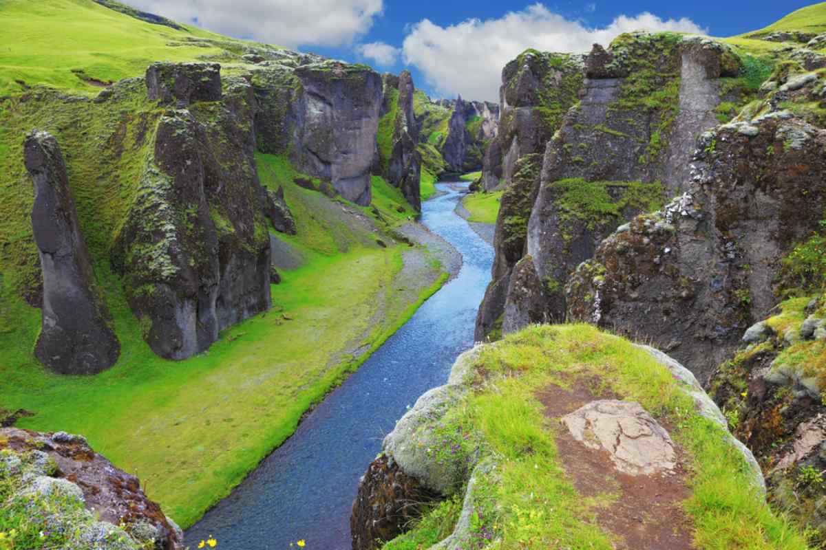
Uncover the beauty of Iceland's canyons with our guide to the top 10 must-visit sites. Click to read more!...
Read More
Discover the Dettifoss to Ásbyrgi tour! Routes, tips, gear & must-see stops await. Click now to plan your Iceland ad...
Read More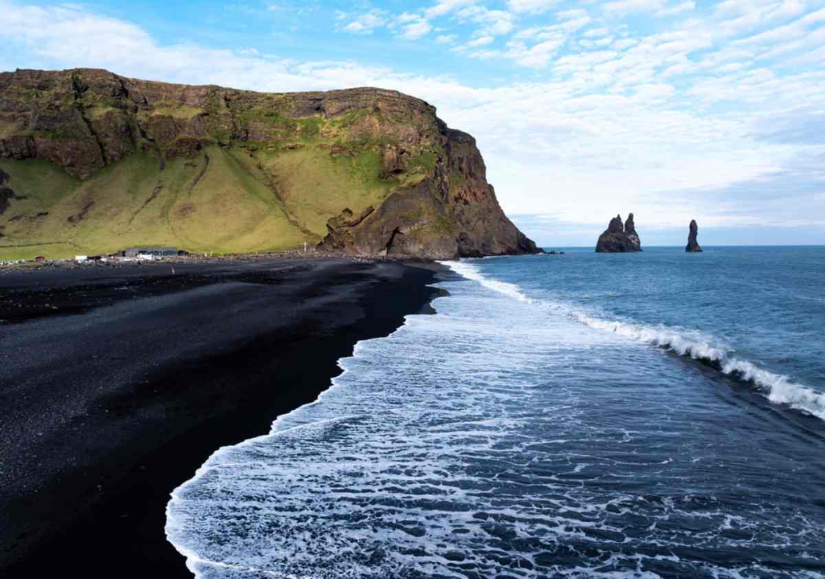
Explore Reynisfjara, Iceland's iconic black sand beach. Uncover its beauty and secrets. Read more!...
Read More